
Pennine Skyline
2nd - 4th May 2026


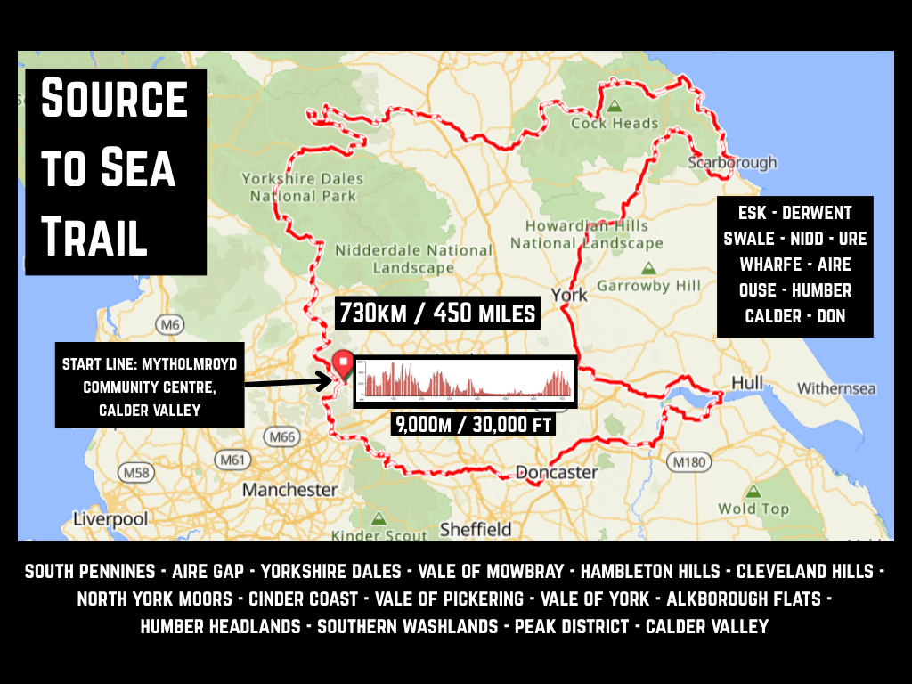
Source to Sea Trail
Date: 23rd - 28th May 2026
Distance: 730kms
Start line: Mytholmroyd Community Center
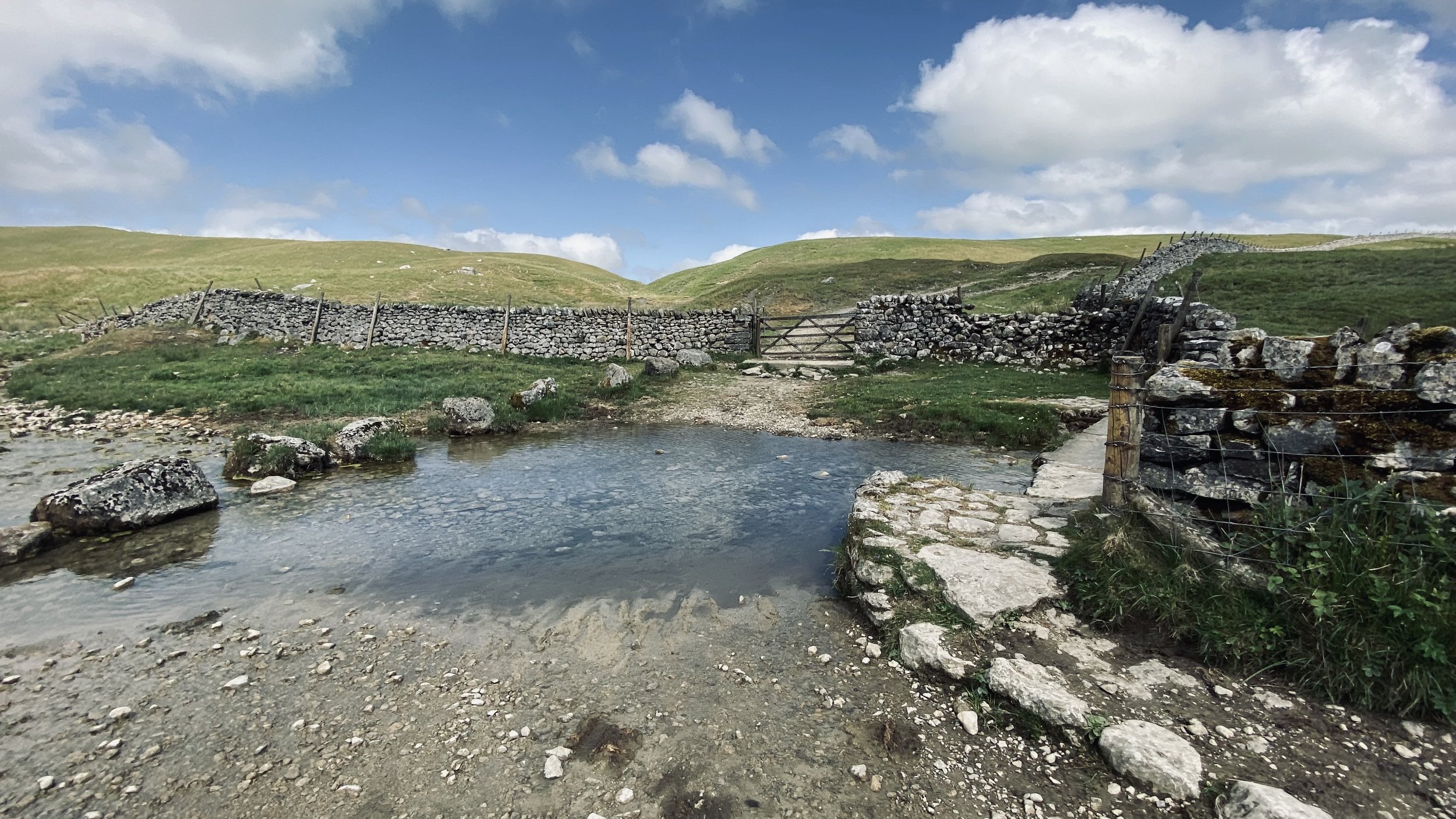
The Source to Sea Trail connects tracks on the moors where 10 of Yorkshire finest rivers rise and flow. We pass through places as diverse as Hebden Bridge, Keld, Whitby, York and Selby and cross three National Parks - Yorkshire Dales, North York Moors and the Peak District. We pas over the Humber Estuary where 24 major rivers converge and flow into the body of the North Sea. The return leg takes us over fast flowing tracks on the level floodplain before climbing over many hills and valleys to reach the Calder Valley.