
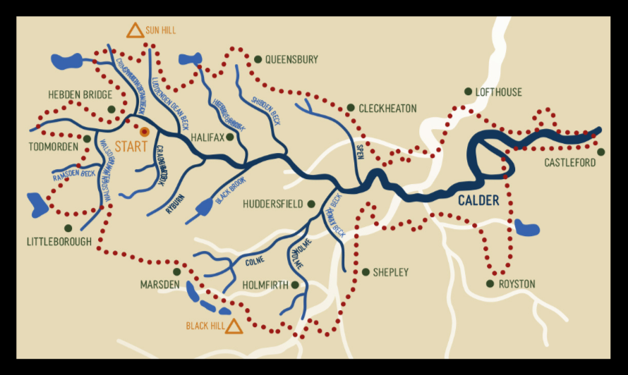
The Calder Divide Trail is the only bikepacking trail in the world that traces the watershed of a single river by connecting tracks and lanes around a river basin.
The CDT goes clockwise around the watershed - the divide - from where water gathers on the high ground around Marsden, Hebden Bridge and Todmorden onto the steep valleys such as Crimsworth Dean and Wessenden Valley then, beyond Dewsbury and Wakefield, there is the wide floodplain where the water flows to form the River Calder.
The River Calder is formed from over a hundred becks in wooded cloughs and seven rivers each of which form a valley such as the River Colne, River Holme and River Spen.
But the Calder is the mother river and all waters in the basin flow into this blue vein and onto Castleford where the Calder merges with the River Aire and both flow onto the North Sea.
(1) Bridleways
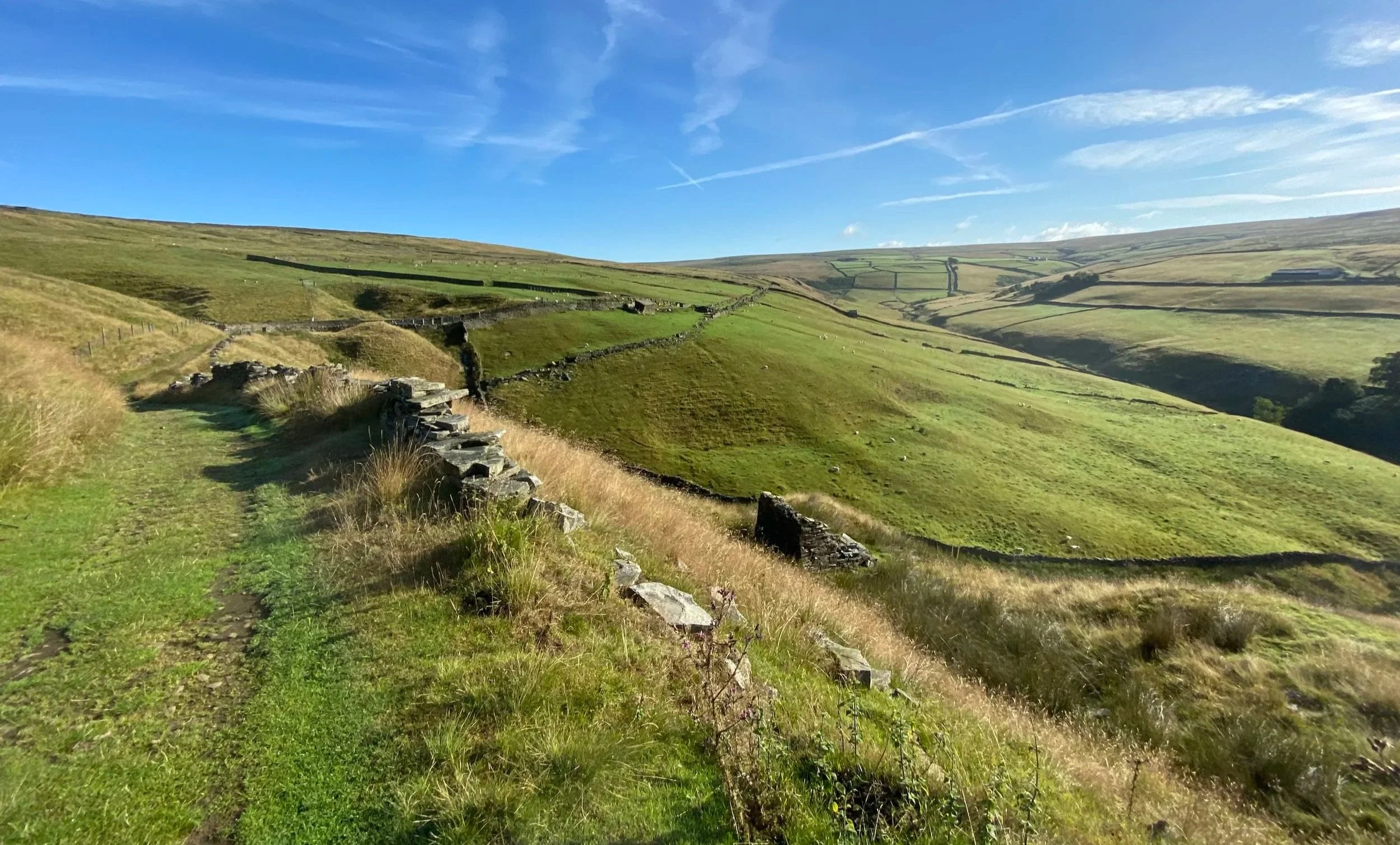
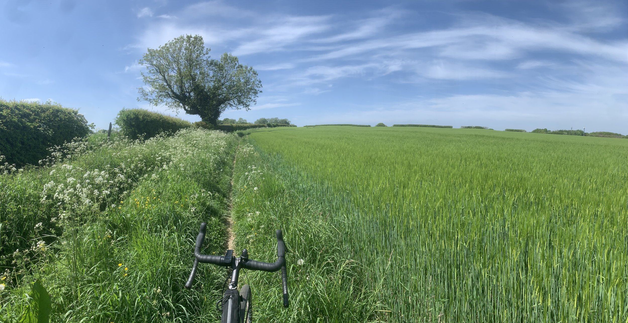
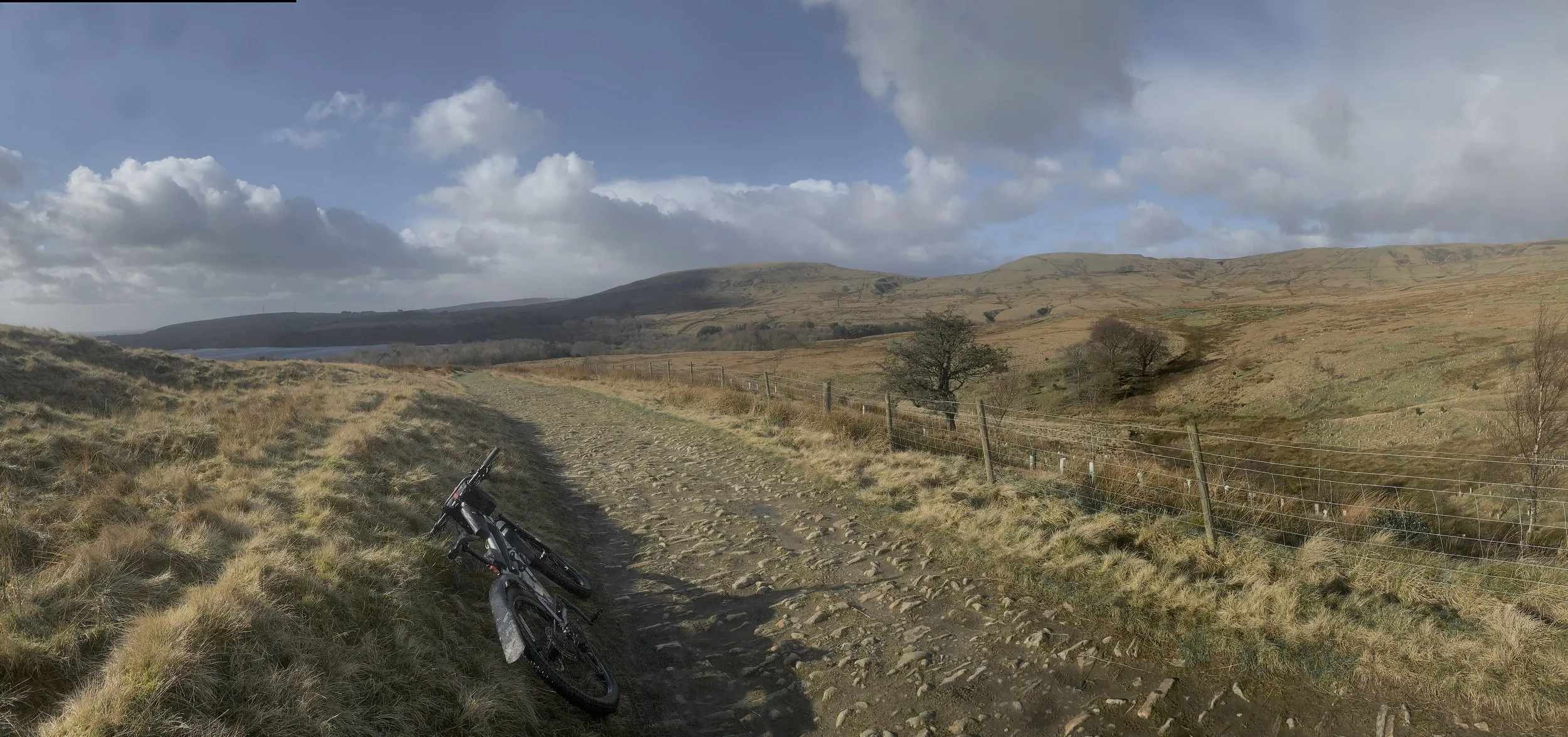
Bridleways are open access trails that are wide enough for the farmers tractor and hard packed with cobbles or gravel and usually with a cover of grass. On the two GRAVEL routes they are well maintained trails. On the two MTB routes many of the bridleways cross exposed and weather beaten moorlands where the trails have deep ruts, large drop off’s and loose rocks.
(2) Causeways
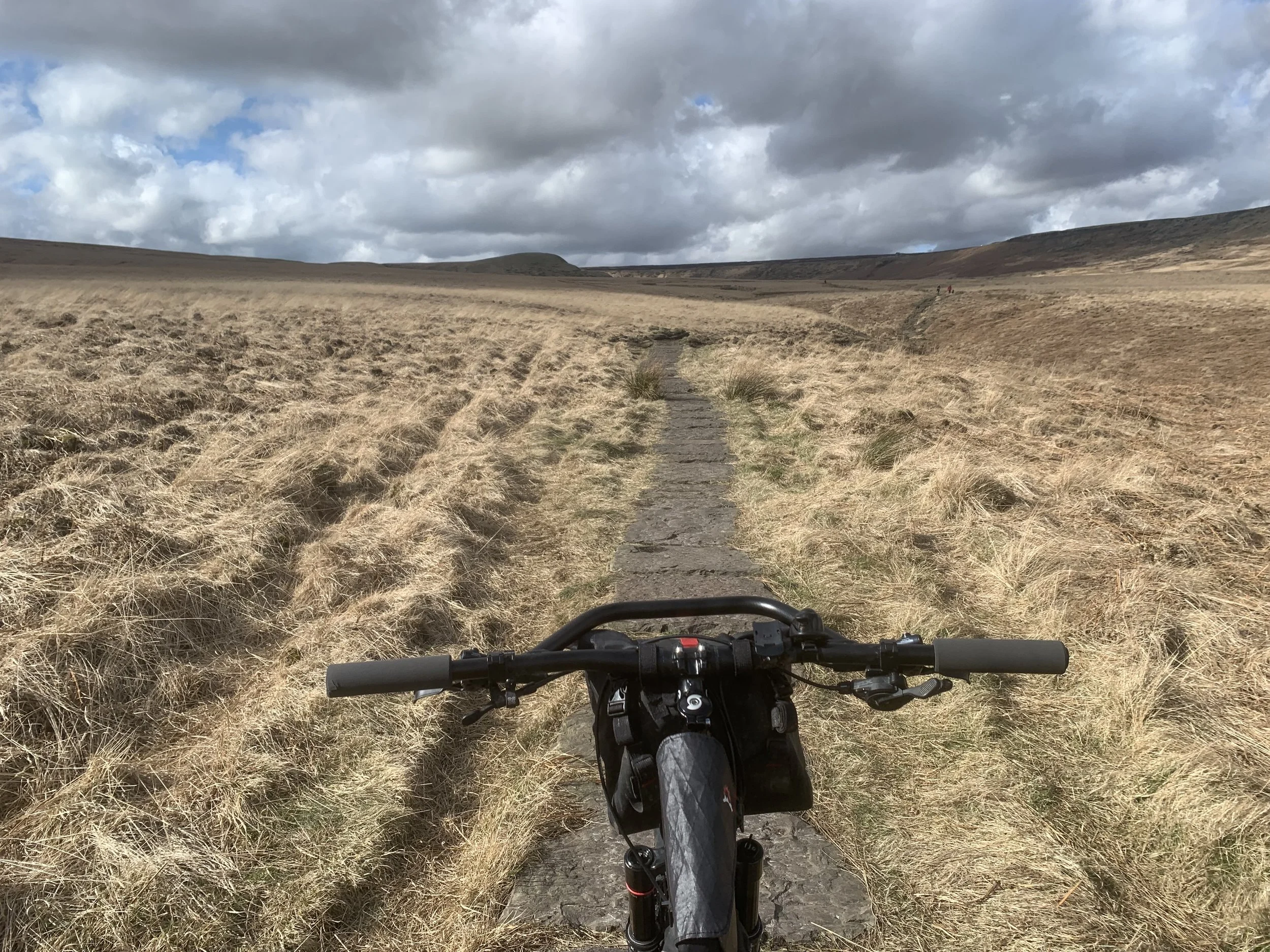
Causeways are stone paths made of cobbles or flagstones. Wool merchants in the 1600’s needed hard wearing paths to get ‘pony trains’ loaded with valuable cargo to market and so paid good money to lay down causeways over the tops of the moors. The Calder Divide Trail links miles of these tough Yorkshire trails on ALL four of the routes.
(3) Greenways
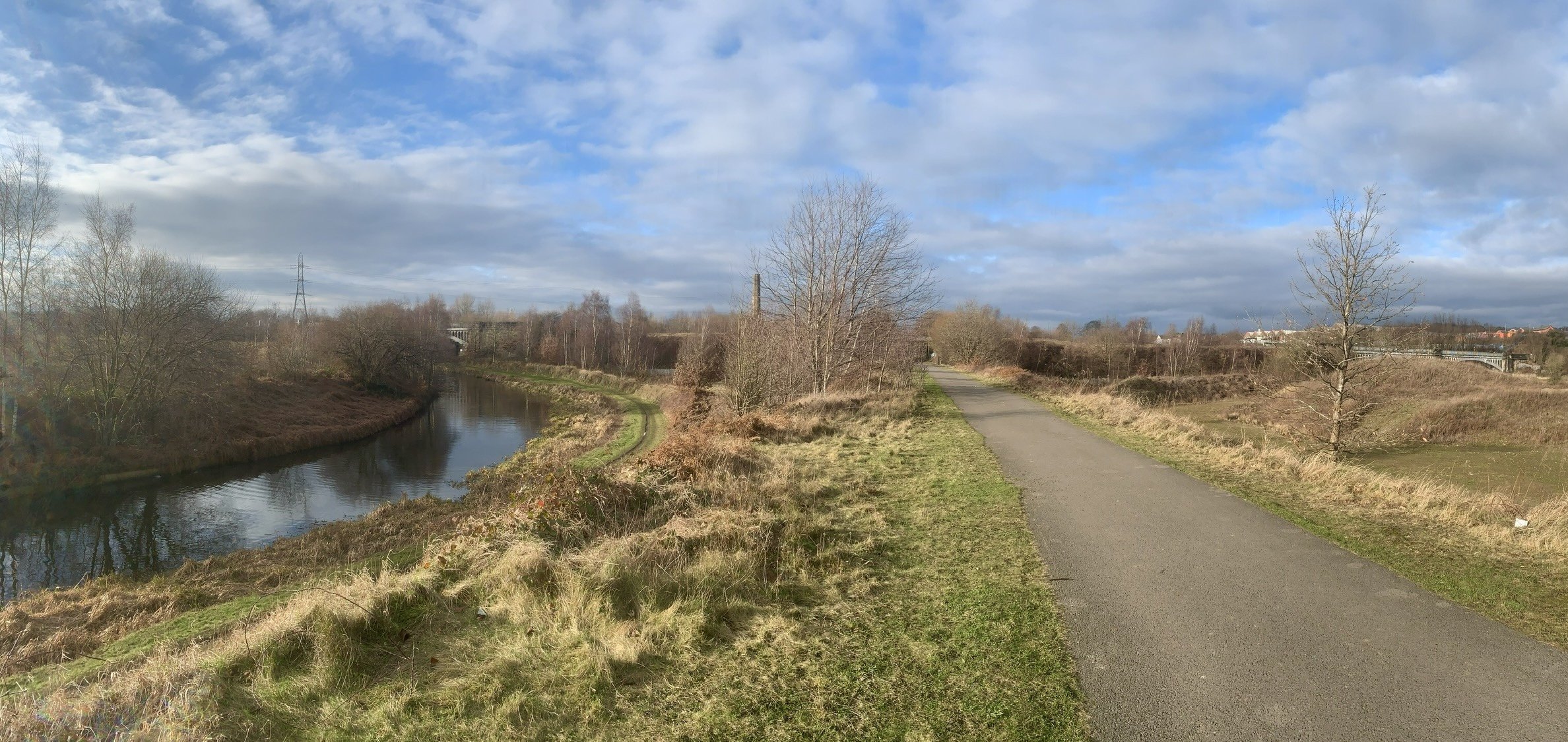
Greenways are traffic free trails with tarmac surfaces laid on top of old railway lines. We are fortunate in having the Spen Valley Greenway to provide traffic free miles to link the Pennine moors in the west to the level floodplain in the east.
gravel bike routes x2
Walsden
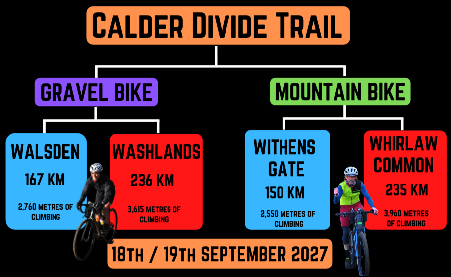
This GRAVEL bike route keeps to bridleways and greenways suitable for a gravel bike with 40+mm tyres. There are of course rough tracks along the 167km and 2,760 meters of elevation (104 miles and 11,800 feet of climbing) as they have been exposed to 800 years of wind and rain but there are no technical downhill mtb tracks. The campsite is at Marsh Farm, 100km on the route on the edge of Shepley village.
washlands
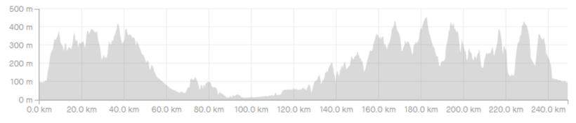
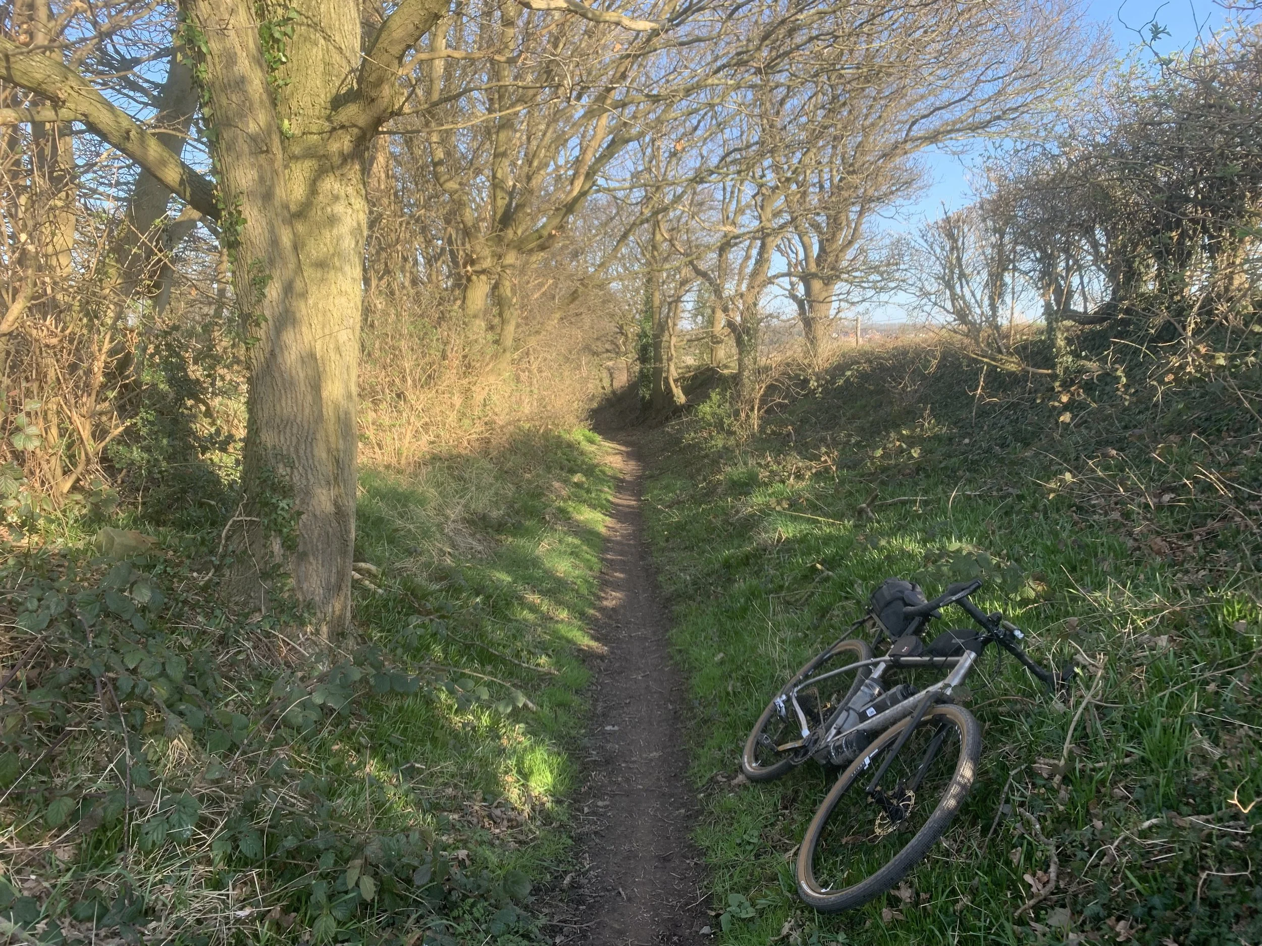
An expert level GRAVEL route with 236km and 3,615 meters of elevation / 146 miles and 11,800 feet of climbing. The route keeps to bridleways and greenways suitable for a gravel bike with 40+mm tyres. The campsite is at Marsh Farm on the edge of Shepley village at 144km.
The main differences compared to the 167km gravel route is that this route takes riders further east onto the superb gravel trails in the Southern Washlands and on through the spectacular tracks across Bretton Hall park.
There are rough and remote moorland tracks above Todmorden but all these are fine for an experienced rider on a gravel bike.
mtb routes x2
Withens gate
The route includes long sections of moorland singletrack, technical descents down rocky paths, trails along steep sided wooded valleys and 12 miles on traffic-free greenway, sections of canal towpath and minor roads. The campsite is at 89kms / 55 miles on the event weekend.
whirlaw common
A ‘black’ grade mountain bike route with 235km / 146 miles and 4,000 meters / 13,200 feet of climbing. It is much tougher than is suggested by the elevation profile and mileage. This route is only suitable for riders used to strenuous physical and mental challenges.
There are long sections of trails with steep drop-offs, loose rocks, stream crossings, exposed and weather beaten moorland and hike a bike. There are also many miles of traffic-free greenways, quality gravel trails, canal towpaths and minor roads. This is the ‘original’ CDT which has since been modified into the three other routes. On the event weekend the campsite is at 144kms.
The ‘black’ grade MTB route takes in two very steep and technical descents down weather eroded bridleways in the area around Todmorden approximately 120 miles into the Challenge. They are Naze Lane and Whirlaw Common.
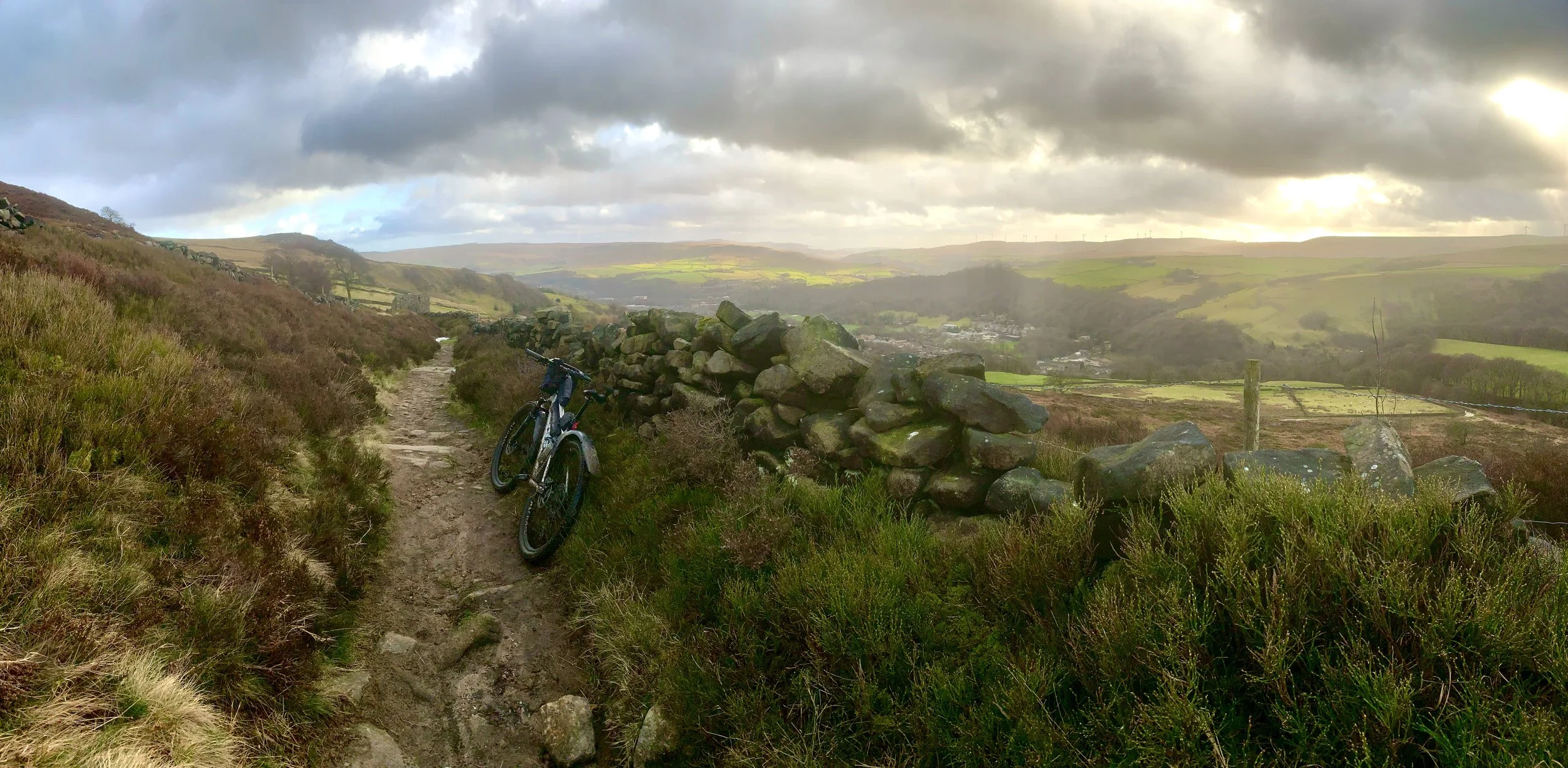
Whirlaw Common